

Botswana's River That Never Reaches the Sea
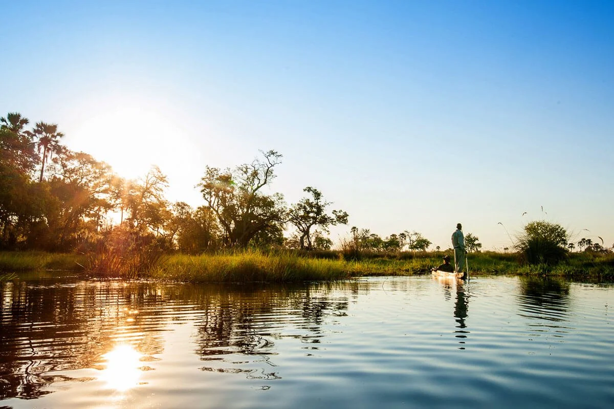
The Okavango River rises in the highlands of Angola and flows south-east towards the Kalahari. It never reaches the ocean. Instead, it fans out across northern Botswana into a maze of papyrus-lined channels and open floodplains, then slowly sinks into the desert sand. That fan of water is the Okavango Delta. It is one of the largest inland deltas on earth and, since 2014, a UNESCO World Heritage Site.
How the Delta takes shape
The river enters Botswana through a narrow corridor known as the Panhandle. For roughly 100 kilometres, it winds between two parallel fault lines through deep, papyrus-lined channels that hold water all year. Where the Panhandle ends, the river breaks free and spreads south-east into the fan shape visible from the air.
That shape comes from movement deep in the earth's crust. The Delta sits in a shallow basin on the south-western extension of the East African Rift system. A second set of faults near Maun acts like a low wall across the Delta's lower edge, holding the water in place.
Very little of that water ever leaves. More than 95 per cent evaporates or passes through plants back into the air. A small remainder drains out past Maun into the Thamalakane River, and the rest soaks into the Kalahari sand. The sand also filters the water as it moves, which is why the channels run so clear.
A flood that arrives in the dry season
Rain falls on the Angolan highlands between roughly November and March. The water takes months to travel downstream, so the flood reaches the Delta well after the local rains have stopped. The land is almost perfectly flat, and the flood takes around four months to cross the Delta from the Panhandle to Maun. By midwinter the floodplains have filled and the channels run deep and clear.
This is the Delta's great contradiction: its wettest landscape appears in the driest months of the year. As seasonal pans across the wider region dry out, elephant and buffalo move towards the Delta's permanent water, and the predators follow them.
Permanent swamp and seasonal floodplains
The Delta is not one uniform wetland. Its upper reaches, closest to the Panhandle, stay underwater all year. This permanent swamp is a world of deep channels and floating papyrus, home to hippo and crocodile.
Further south, the land becomes a patchwork of islands and grassy floodplains that fill and drain with the annual flood. In Setswana, these seasonal floodplains are called molapo. When the water rises, they become shallow, lily-covered lagoons. When it drops, they turn to open grassland grazed by red lechwe and zebra.
The Delta's size changes with every flood. A strong year can push water across twice the area it covers in a dry one.
The Delta through the year
The rains (November to March). Summer rains turn the bush lush and green. Migrant birds arrive, many antelope give birth, and afternoon storms build and clear. Water in the floodplains sits at its lowest, and the channels narrow between the islands.
The rising water (April to June). The flood from Angola begins to arrive in April and spreads slowly south through the channels. Days stay warm and nights grow cooler as winter approaches.
The flood peak and the dry season (July to October). The flood peaks through the cool, dry winter, just as the surrounding land dries out. Clear skies and thinning vegetation open up the landscape. October is the hottest month, and wildlife gathers closely around the remaining water.
Life in the Delta
The Delta supports an extraordinary mix of wildlife. Regular sightings include elephant, buffalo, giraffe and hippo, alongside lion, leopard, spotted hyena and the African wild dog. Cheetah, honey badger and the shy pangolin reward patience. Rhino are present but rare.
Some species exist here because of the water. Red lechwe race through the shallows on elongated hooves. The sitatunga, a secretive swamp antelope, hides deep in the papyrus. Tsessebe graze the open floodplain edges.
Botswana records more than 450 bird species, and the Delta holds many of them. African fish eagles call from the treetops, bee-eaters hawk from the reed beds, and tiny painted reed frogs cling to the stems at water level.
The plant life shapes everything. Many of the Delta's islands began as termite mounds, where trees took root and slowly built up higher ground. Today ancient jackalberry and sycamore fig trees shade those islands, while water lilies and papyrus fill the channels between them.
Chief's Island and Moremi Game Reserve
At the heart of the Delta lies Chief's Island, the largest island in the system at roughly 70 kilometres long. It sits on a raised block of land that keeps much of it dry, even at the height of the flood. That dry ground draws wildlife in from the surrounding water and gives the island one of the densest concentrations of game in the Delta.
The island takes its name from its history as the hunting ground of the Batawana chiefs. Today it forms part of Moremi Game Reserve, which the Batawana people set aside in 1963 and named after Chief Moremi III. It was one of the first reserves in Africa created by a local community rather than a colonial government.
Where Lodges of Botswana sits in the Delta
Lodges of Botswana camps lie on the south-western edge of Chief's Island, along the Boro River. The Boro is one of the Delta's main channels. It runs along the western side of Chief's Island before draining south towards Maun.
This stretch of the Delta sits in the seasonal swamp, where the permanent waterways meet the floodplains. The flood usually reaches it in midwinter and turns the surrounding molapo into shallow waterways. As the water drops later in the year, the floodplains open up and wildlife moves freely between Chief's Island and the smaller islands around it.
Delta Camp sits on a forested island bordering Moremi Game Reserve, with the Boro River running directly in front of it.
Oddballs' Camp lies nearby on the same river, its deck looking out over the Boro's channels and reed beds.
From the air, the Delta's structure is clear: bright channels threading between islands, with the forest of Chief's Island rising along the water's edge. The three camps sit beneath that canopy, on the line where the island meets the river.